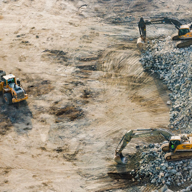
ICADS use the latest UAV (Unmanned Aerial Vehicle) technologies mounted on various platforms to deliver high resolution imagery and 3D surface models, from small projects to major infrastructure and mining projects. This technology is also used for heritage and environmental monitoring and data collection.
In addition to this technology, ICADS also use conventional aerial survey techniques to cover large scale mapping projects.