Concrete, structural mechanical and Piping

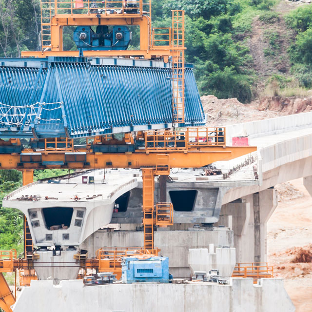
We have delivered solutions on numerous infrastructure projects such as erection of structural steel, mechanical and piping components, high tolerance set-out of crushers, mills, screens, conveyors, ship loaders, stackers and reclaimers and bridges.

The use of 3D laser-scanning technology and dimensional control services assist in this process, providing clash detection and detailed 3D images to aid in installation and design.

  • Fast, safe and cost effective mapping services for all terrains
  • Lidar and photogrammetry using fixed-wing and multirotor platforms
  • High resolution orthomosaics, accurate terrain models, contour maps and volume calculations
  • Industrial inspection for monitoring, maintenance planning, or post-incident response
  • Professional Video, Still and 3D modelling services for entertainment, forensics and insurance
  • Payload operations for sampling, or installing and retrieving inaccessible lines or equipment
  • Runway / taxiway / apron resheeting and guide light alignment
  • Terminal upgrades
  • Aero bridge & plane bay upgrades
  • Airfield in ground services location
  • Proposed baggage conveyor clash detection
  • First order survey control
  • Project management
  • Boundary definition
  • Bulk and detail earthworks
  • Piling and foundations
  • High rise building structure vertical and horizontal alignment control
  • Complex structure monitoring
  • Laser scanning Point Cloud & BIM
  • Stadium surveys
  • Structural steel setout / alignment

Project management

  • Excavations / Bulk earthworks
  • Foundations / Formwork / Modular builds / High rises
  • Roads / Railway / Conveyors / Bridges / Dams
  • Survey Control / QA-QC
  • Area, volume calculations / Reporting / As built
  • Dimensional control
  • First Order Survey control network optimisation planning, installation, establishment, maintenance, audit and verification
  • Networks established in a Local coordinate system, MGA or to project requirements
  • Control adjustments or optimisations carried out using least squares software
  • Manual and automated TPS monitoring system (<0.01mm)
  • Automated GNSS monitoring system
  • Crack deformation monitoring
  • Subsidence monitoring
  • Remote location monitoring (safety constraints)
  • Building, bridge, road, rail, dam, pipeline, tunnel, quarry, mine site, wharf, sea wall, transmission tower, landslip and beach erosion monitoring
  • Reporting of results in varying ways
  • Piling / Drilling / Seabed preparation
  • Wharf and jetty construction
  • Caisson / Barge / Heavy lift crane GPS positioning & control
  • Topside / Road / Pipe way design & set out
  • Piping support / Offshore platform laser scanning
  • Dimensional control
  • ROW assistance
  • Design / Set out
  • Machine control
  • Asbuilt / GIS reporting
  • Pipe lay construction (Roping / Bending / Crossings)
  • Rehabilitation